TerraVector Intelligence converts massive sources of geospatial data into actionable Government intelligence — enabling stronger regulatory compliance, improved revenue protection, and evidence-based decision-making across every ministry.
A shared national capability with specialized mission modules, reducing technology duplication across ministries.
Fusing satellite, radar, drone, AI and government GIS layers into a unified intelligence feed.
Automated change detection, object recognition, vegetation and risk scoring powered by deep-learning models.
Hosted within Cameroon's sovereign infrastructure with strict data segregation and cybersecurity controls.
Each module is a specialized mission capability designed for a specific ministry's mandate — all powered by the same sovereign national platform infrastructure.

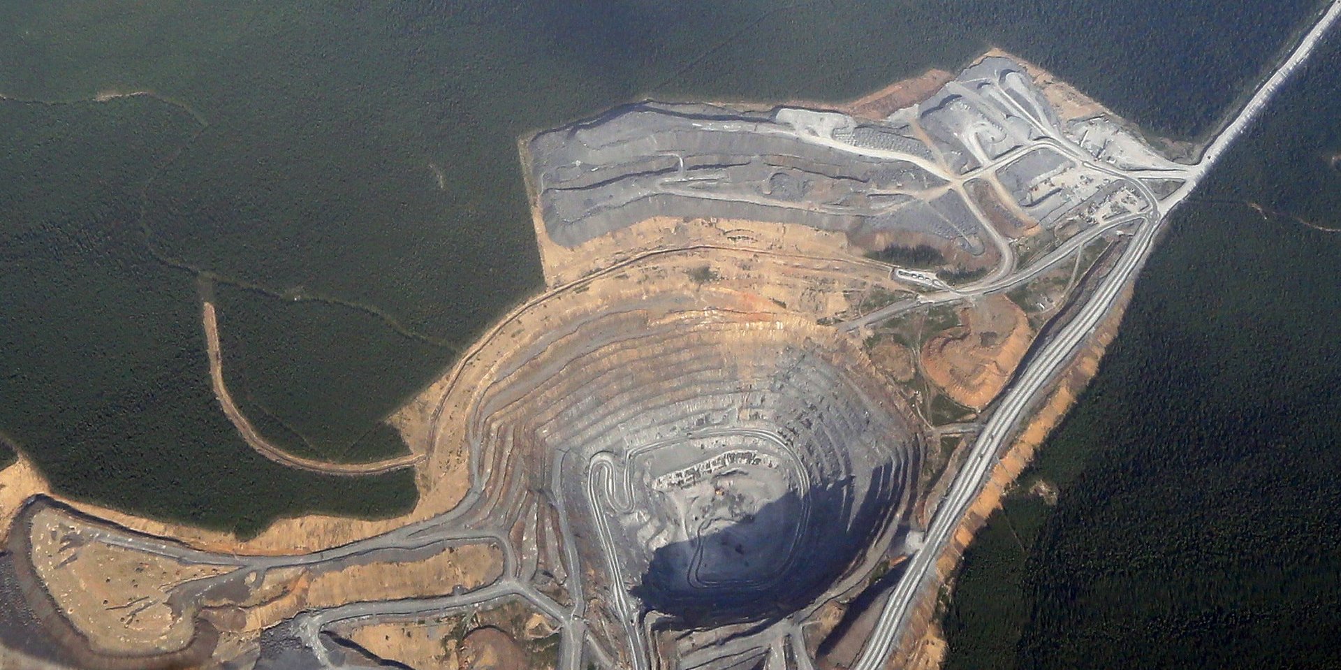
Monitor licensed mining concessions, detect unauthorized activity, and protect national mineral resources.

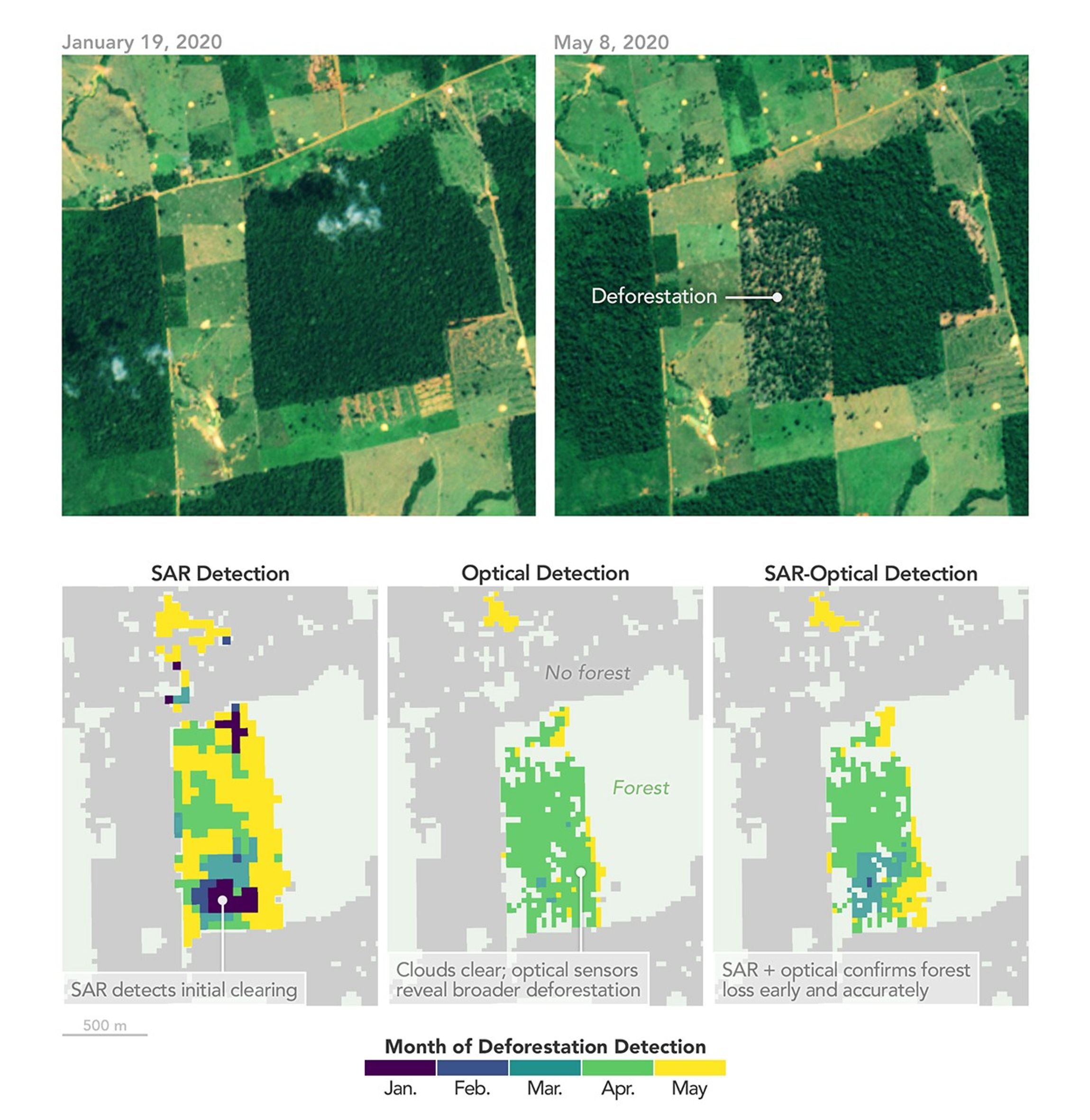
Track forest cover loss, detect illegal logging, and protect critical ecosystems and carbon sinks.

Deliver precision agricultural intelligence for food security decisions, drought early warning.

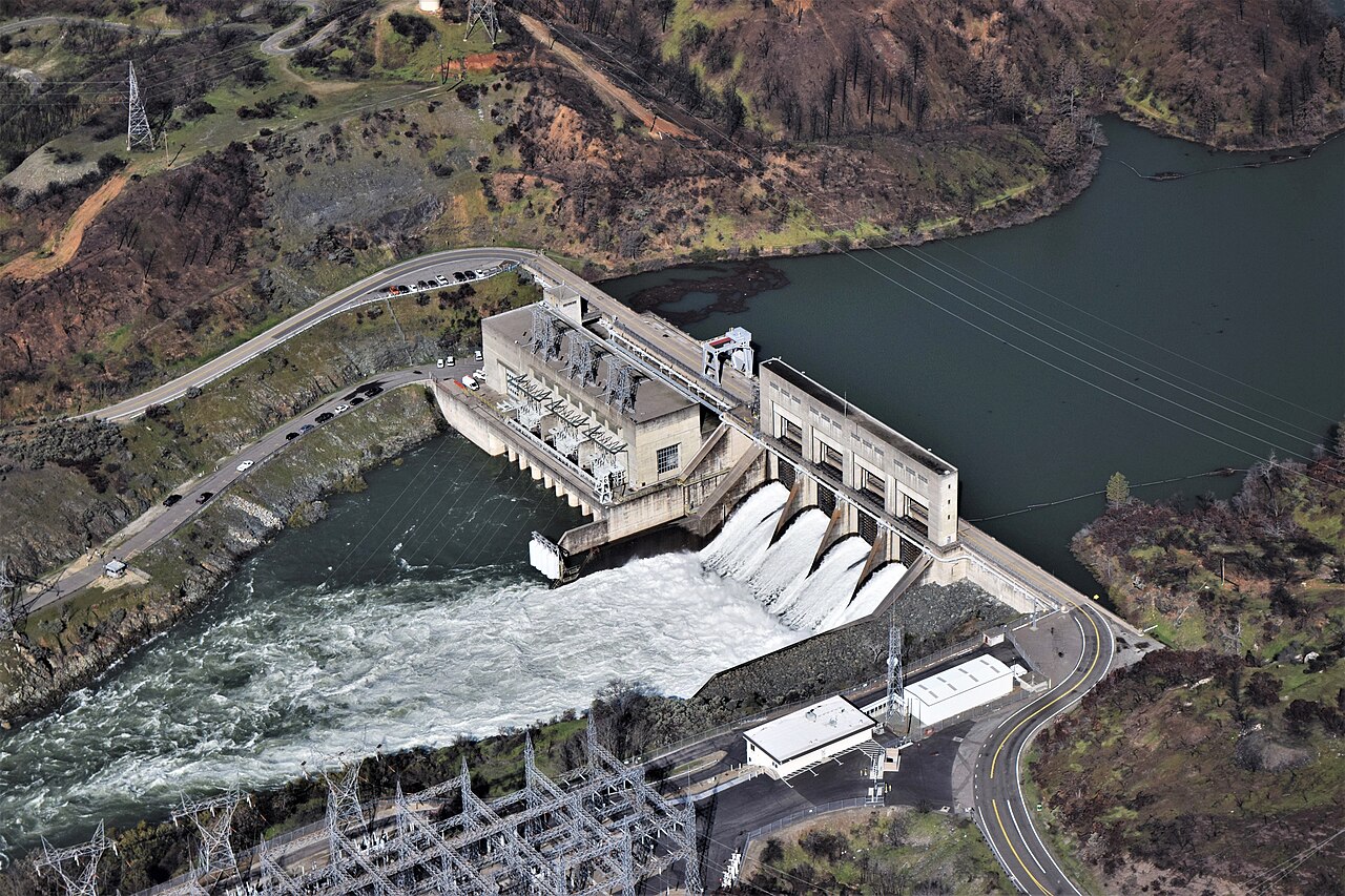
Protect water infrastructure, forecast floods, and ensure national water security with real-time monitoring.

Independently verify construction progress, detect unauthorized land use, and protect infrastructure investments.

Map settlement growth, track land use changes, and support urban planning and land administration.

Maintain continuous border situational awareness — detect illegal crossings, monitor conflict zones.
Monitor transport corridors, track highway and port development, and optimize national logistics.

Track urban development, monitor informal settlements, and generate geospatial urban intelligence.

Deliver life-saving early warning intelligence for floods, wildfires, and landslides to protect communities.
Private-sector subscribers benefit from TerraVector's geospatial infrastructure while Government retains sovereign control. Strict data segregation ensures no access to classified or regulatory information.
Regulation, Compliance, Revenue Protection and Public-Sector Decision Intelligence.
Asset Monitoring, Operational Intelligence, Risk Management and Compliance Support.
Best suited for: Mining companies, mineral concessionaires, extractive industry operators
Best suited for: Forestry operators, agribusiness companies, plantation owners
Best suited for: Construction companies, engineering firms, infrastructure developers
Best suited for: Energy companies, telecoms, utilities, pipeline operators
Best suited for: Financial institutions, insurers, banks, due diligence firms, investors
TerraVector Intelligence offers three flexible deployment models. The Public-Private Partnership provides the optimal balance of sovereignty, capability, and cost efficiency.
| Initial Cost | Minimal |
| Deploy Time | 4–6 weeks |
| Ownership | IPS LLC |
| Hosting | IPS Cloud |
| Initial Cost | Low |
| Deploy Time | 8–16 weeks |
| Ownership | Shared / Sovereign |
| Hosting | Cameroon Sovereign |
| Initial Cost | High |
| Deploy Time | 6–18 months |
| Ownership | Government of Cameroon |
| Hosting | Government Data Center |
TerraVector Intelligence is not merely an Earth Observation application — it is a national digital infrastructure for territorial intelligence, regulatory compliance and Government decision-making.
Ministries gain an independent verification tool for enforcing regulations across their sectors instead of relying on self-reporting and periodic field inspections.
Satellite-verified evidence of non-compliant economic activities can be used to identify tax evasion, illegal mining, and unregulated revenue-generating activities.
Cameroon establishes sovereign oversight of mineral resources, forests, agricultural land, water resources and protected areas.
Satellite-verified evidence of progress on roads, infrastructure and other geographically observable Government projects.
Ministries eliminate higher-cost, slower-to-deploy inspection resources and prioritize field inspections to cases flagged by satellite evidence.
A shared platform eliminates data silos, enables cross-ministerial coordination, and provides a unified national picture of territorial intelligence.
Historical and current geospatial intelligence supports infrastructure planning, agricultural policy, climate adaptation and urban development.
Implementation can be hosted within sovereign Cameroonian infrastructure, with sensitive intelligence protected under national security requirements.
Ministries currently procure intelligence from multiple vendors. A unified platform eliminates redundant subscriptions and duplicated capabilities.
A sovereign platform ensures that national geospatial capability persists across administrations, political transitions, and changes in Government leadership.
Government investment in geospatial intelligence creates opportunities for local geospatial applications, trained employment and greater Earth Observation adoption.
Transparent, satellite-verified evidence of Government and investor independently verifiable infrastructure, compliance and development outcomes inspires investment.
"The strategic opportunity is to create a national capability that converts multiple sources of geospatial data into actionable Government intelligence, stronger regulatory compliance, improved public revenue protection and evidence-based decision-making."
Tell our team how this intelligence module can support your organization.
Request a platform demonstration, subscription information, or speak with our team about deploying TerraVector Intelligence for your institution.